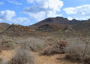
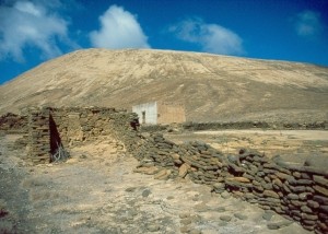
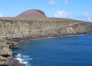
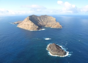
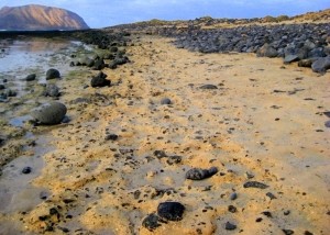
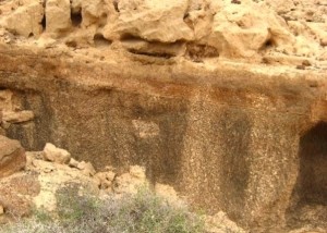
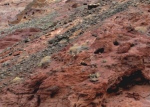
The origin of the beauty of Lanzarote lies in its geology, its natural landscapes, its evolution, and its original materials that make up its geological heritage. Volcanoes, cliffs, caves, beaches, lava flows, jameos, calderas and islets, have turned the island into a geologically unique place in the Atlantic.
Definition
A Geosite, or Site of Geological Interest, is an “area that is part of the geological heritage of a natural region as constantly shows one or several characteristics that are considered significant in its geological history” (García Cortés and Carcavilla, 2013).
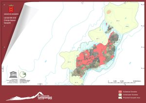
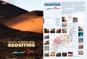
In our Geopark, there are 49 geosites on land and 19 underwater. 68 places can be marked on the map.
Next, there is a description of land sites according to the Specific Collaboration Agreement Report CIL-IGME to carry out scientific-technical research of the use of the volcanic resources of Lanzarote (createad by Inés Galindo, Nieves Sánchez, Carmen Romero and Juana Vegas), in 2014.
LIG AL01: Malpaís del Norte
Basaltic lava flows, mainly aa type, fragmented in blocks with numerous cracked tumulus, longitudinally and transversally, from the eruptive fissure [...]
LIG AL02: La Caldera
A hydromagmatic construction, almost 300 m tall, with a diameter at the base of more than 2 km and a [...]
LIG AL03: Trocadero-El Veril
The south eastern coastal stripe of the islet of Alegranza has a marine cliff between 40 and 200 m high, [...]
MC01: Montaña Clara-Roque del Este
Montaña Clara is a large building, approximately 1400x1500 m and 256 m high, with a broad crater open towards the [...]
GR01 Costa de Los Resbalajes
From the south sector to the north, there is a gradual decrease of the age of materials that make up [...]
GR02 Barranco de Los Conejos
The island of La Graciosa is characterised by recent volcanism and the intense sand covering it. That explains the little [...]
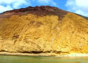
GR03 Montaña Amarilla
This is the only building in La Graciosa almost fully formed by palagonitised deposits of clearly marked hydromagmatic features, with [...]
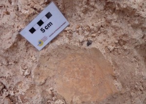
LZ01 Zona paleontológica de Órzola
Includes several paleontological sites related to sand deposits. The fossils are on ancient dunes stratigraphically located among the basaltic miocene [...]
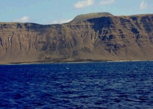
LZ02 Risco de Famara
This cliff is around 25 km long, and between 400 and 600 m high, whose genesis is linked to a [...]
LZ03 Cono enterrado de Órzola
It is located in the lower part of the ancient building of Famara, and it is between 10.2 – 8.3 [...]
