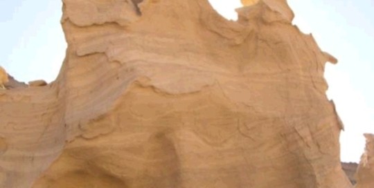
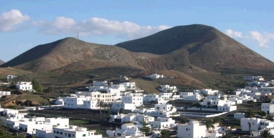
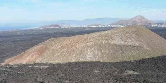
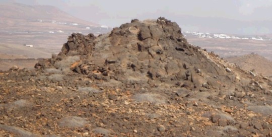
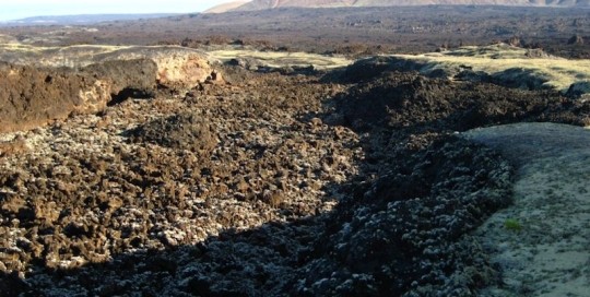
It comprises one of the three large North-South sand outcrops, in the northeastern sector of Lanzarote. To the east, Mala village. organogen fine grain wind sand deposits that in some areas reach more than 22 m. This sand corresponds to fields of dunes from the Upper Pleistocene that expanded all over the northeastern coast of [...]
LZ15 Timbaiba
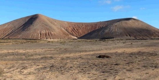
carlosdpp2021-03-09T13:27:35+00:00Montaña de Timbaiba is a horseshoe-shaped volcanic cone, formed during the fissure eruption in the Middle Pleistocene. This building was constructed over a wind sand dune from the Pleistocene. There are two dune systems separated by a paleosol and by two pyroclastic deposits during the Timbaiba eruption. On the oldest dune there are fossils, such [...]
LZ16 Vega de San José-Guanapay
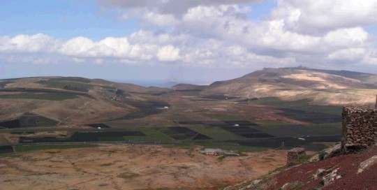
carlosdpp2021-03-09T13:26:23+00:00Located near the southern end of Risco de Famara, it is a river valley transformed into an interior endorheic basin after the eruption of the Guanapay volcano. The top sector is currently disconnected from the rest of the valley due to the ravine directly over Risco de Famara. In the endorheic area of the valley, [...]
LZ17 Cantera de Tinamala
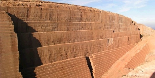
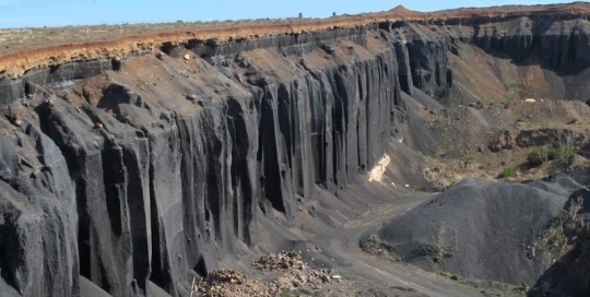
carlosdpp2021-03-09T13:25:28+00:00This geosite includes several excavated quarries on the flanks of the volcanic building of Tinamala, whose eruption dates back to the Upper Pleistocene. On the cuts of the quarries, we can clearly see an internal structure of the tephra cone, formed by a basaltic projection of pyroclastic deposits that is partially soldered and is bright [...]
LZ18 Montaña Tinache
carlosdpp2021-03-09T13:24:21+00:00A volcanic building formed in the Middle Pleistocene. In the process there was a series of hydromagmatic and strombolian episodes. Abundant dune enclaves. The crater is filled by sandy-clay deposits. In its flanks there is a high level of encalichamiento developed on the surface as a consequence of the erosion of the external pyroclastic levels [...]
LZ19 Las Calderetas
carlosdpp2021-03-09T13:23:16+00:00This geosite includes the surface of the volcanic cone of La Caldereta formed during the Lower Pleistocene. The vastness of its lava flows during the eruption that took place between 1730 and 1736, resulted in a large lava area; only locally, the existence of previous mountain ranges, mainly volcanic cones, posed an obstacle to the [...]
LZ20 Lomos de San Andrés y Camacho
carlosdpp2021-03-09T13:22:12+00:00This geosite is a clear example of the interference between the volcanic construction processes and the sedimentation of wind sands on the island of Lanzarote, which in this case has favoured the creation of convergent relief shapes, whose conic shape and pyroclastic materials on the surface, mainly lapilli, has caused for them to be interpreted [...]
LZ21 Monumento al Campesino
carlosdpp2021-03-09T13:21:18+00:00This geosite is located in Monumento al Campesino, a Tourist Centre of the Cabildo Insular of Lanzarote dedicated to the traditional work on the fields of the islands. On the inside of the building there are distal lava flows from the Timanfaya eruption (1730-1736) as ornamental elements. The lava flows that reached Puerto de Arrecife [...]
LZ22 Los Ancones
carlosdpp2021-03-09T13:18:56+00:00The powerful lava flows of Los Ancones from the pleistocene volcanic cone of Montaña Corona, reached the old coastline and got into the sea, forming one of the most pronounced capes on the eastern coast of Lanzarote. Its situation on the shallow coast resulted in lava/water contact explosive processes, and the formation of spectacular pseudo-craters [...]
LZ23 Canal de lava del Chinero
carlosdpp2021-03-09T13:17:28+00:00The Chinero volcano, also known as Nuevo del Fuego volcano, formed during the second eruption episode (29th September - 5th October) of the 1824 triple eruption, around 13 km away from Volcán de Tao, the first one to erupt, and, following a ENE-WSW fissure, it’s the only fully magmatic volcanic manifestation of this triple eruption [...]
