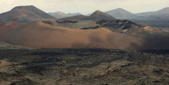
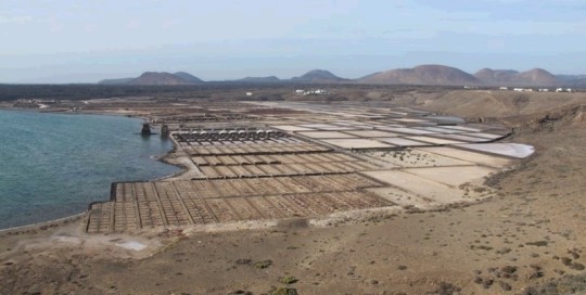
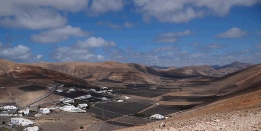
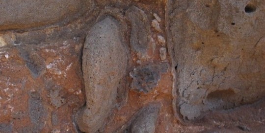
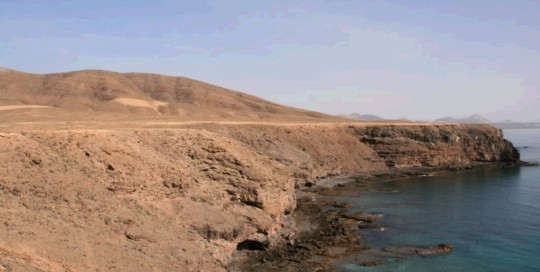
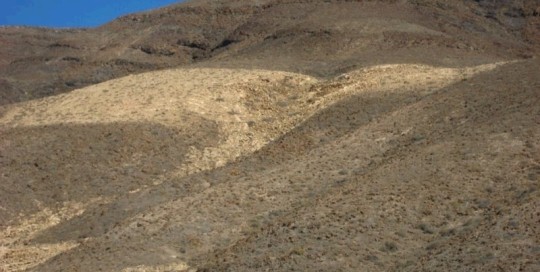
El Corazoncillo is a volcano crater ring which is located 100m below the external base of the structure. This crater consists of the explosive funnel housed in a larger Strombolian-type structure from the historic Timanfaya eruption. In this volcanic structure you can identify different eruptive phases that formed, ranging from the formation of a cone [...]
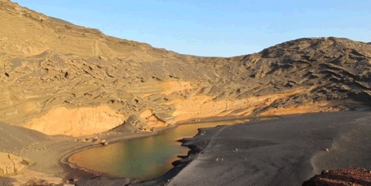
LZ35 El Golfo
carlosdpp2021-03-09T12:46:06+00:00Surtseyan structure in which we can observe wet and dry pyroclastic series with plenty of pyroclastic structures and coastal erosion processes. The eruption began with the emission of humid basal pyroclastic series which evolved at the end of the eruption into drier forms. This structure was generated as a result of the continuing collapse of [...]
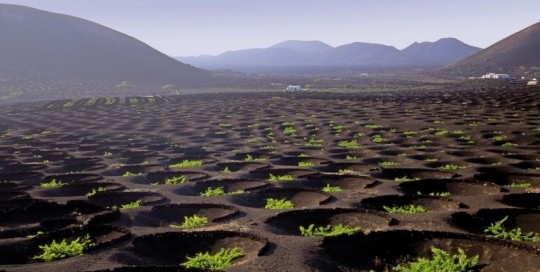
LZ36 La Geria
carlosdpp2021-03-09T12:45:11+00:00It is the largest wind dispersing mafic pyroclastic field in all of the Canary Islands, in terms of surface and thickness. Pyroclastic, also called lapilli or rofe by the inhabitants of Lanzarote, come from the historic eruption of Timanfaya (1730-1736) which was previously deposited on the ground. The climate of this area is characterised by [...]
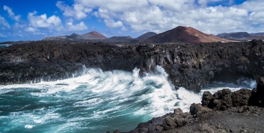
LZ37 Los Hervideros
carlosdpp2021-03-09T12:38:51+00:00It is characterised by a cliff developed from the historical Timanfaya lava flow (18th Century) on the west coast of the island of Lanzarote. The historical lava flow reached enormous power or thickness at this point. They are olivine basaltic lavas with abundant xenoliths of dunite. On the surface, they have aa type morphology and [...]
LZ38 Laguna de Janubio
carlosdpp2021-03-09T12:37:57+00:00This geosite is located in the old port of Real de Janubio, which is currently a coastal lagoon that is closed off with a rope fence which originated from the longshore drift of products arising from the dismantling of lava flows from the eruptions of 1730-1736. In this geosite, we can also observe marine rasas [...]
LZ39 Valle de Femés
carlosdpp2021-03-09T12:35:05+00:00An excavated valley in the ancient deposits of the Macizo de los Ajaches. This is a graben-type valley, structurally controlled by normal faults in a NE-SW direction. The existence of these faults has influenced the direction of the eruptive fissure including the cones of Montaña Riscada and Caldera Gritana, since, once the power source of [...]
LZ40 Piedra Alta
carlosdpp2021-03-09T12:33:19+00:00On the coast of Piedra Alta, a conglomeratic deposit has been observed with fossiliferous limestone cemented blocks located at 16-18 m s.n.m. which have been interpreted as a tsunami deposit. The origin of this tsunami is believed to be related to a mega-slide that occurred during the marine isotope 9.3 stage. The deposit rests on [...]
LZ41 Papagayo
carlosdpp2021-03-09T12:31:48+00:00In the southeastern tip of Lanzarote, south of the steep slopes of Los Ajaches, a large area of very low slope is located. It is a marine abrasion platform formed during the Pliocene, on which a river network of dendritic character has formed. This rasa has an average altitude of about 40 m above sea [...]
LZ42 Barranco de Las Pilas
carlosdpp2021-03-09T12:30:48+00:00Las Pilas ravine is located in the southern foothills of the Ajaches massif. This is a basin carved on lava flows and pyroclastic outcrops with radiometric ages of between 14.5 and 1.5 m, corresponding to Dominio de Ajaches. The main canyon basin called Las Pilas fits into its middle and final section on the marine [...]
