The origin of the beauty of Lanzarote lies in its geology, its natural landscapes, its evolution, and its original materials that make up its geological heritage. Volcanoes, cliffs, caves, beaches, lava flows, jameos, calderas and islets, have turned the island into a geologically unique place in the Atlantic.
Definition
A Geosite, or Site of Geological Interest, is an “area that is part of the geological heritage of a natural region as constantly shows one or several characteristics that are considered significant in its geological history” (García Cortés and Carcavilla, 2013).
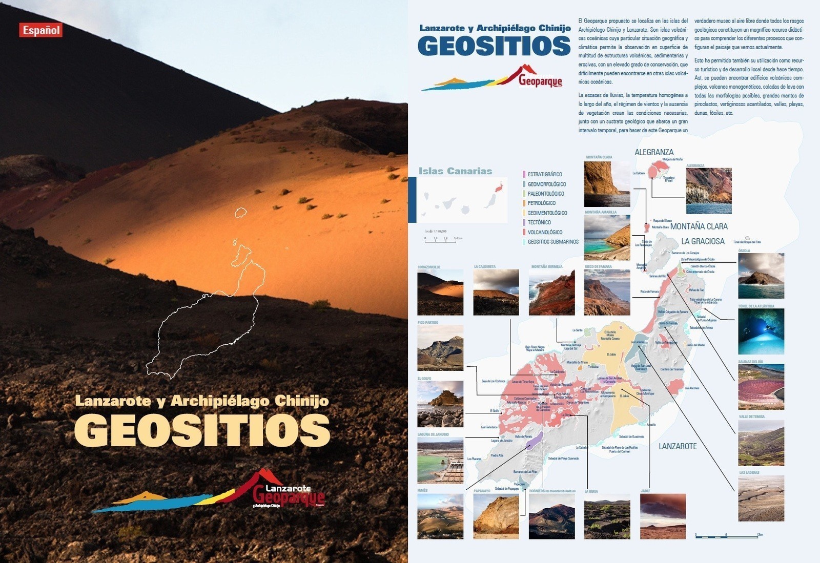
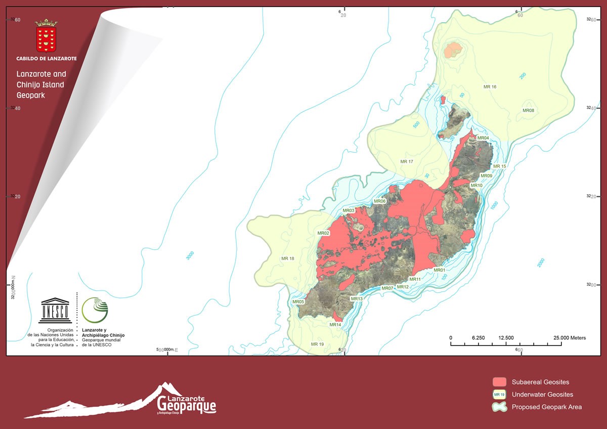
In our Geopark, there are 49 geosites on land and 19 underwater. 68 places can be marked on the map.
Next, there is a description of land sites according to the Specific Collaboration Agreement Report CIL-IGME to carry out scientific-technical research of the use of the volcanic resources of Lanzarote (createad by Inés Galindo, Nieves Sánchez, Carmen Romero and Juana Vegas), in 2014.
![]()
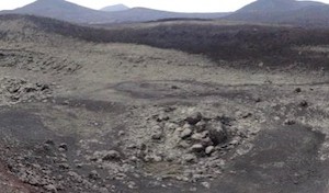
LZ24 Volcán de Tinguatón
¡The Tinguatón volcano corresponds to the 3rd and last eruption stage of 1824, around 9 km from the first building [...]
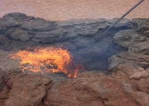
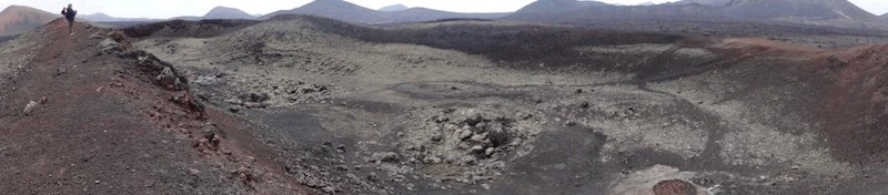
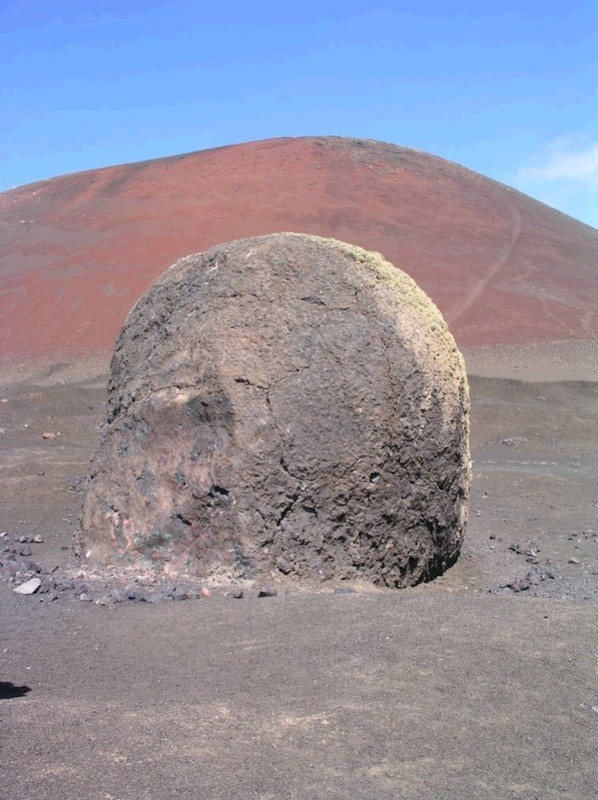
LZ25 Islote de Hilario
Islote de Hilario is one of the most original islets or kipukas in the Canary Islands, and it stands out [...]
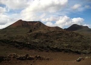
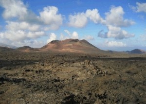
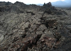
LZ26 Pico Partido-Montaña Señalo
The volcanic area of Pico Partido-Montaña del Señalo is one of the most active points of the fissure vent that [...]
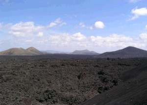
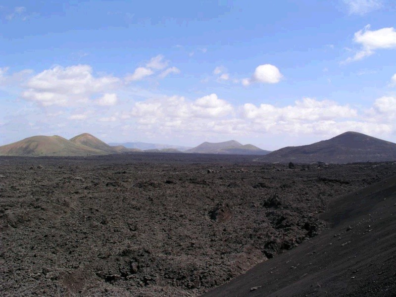
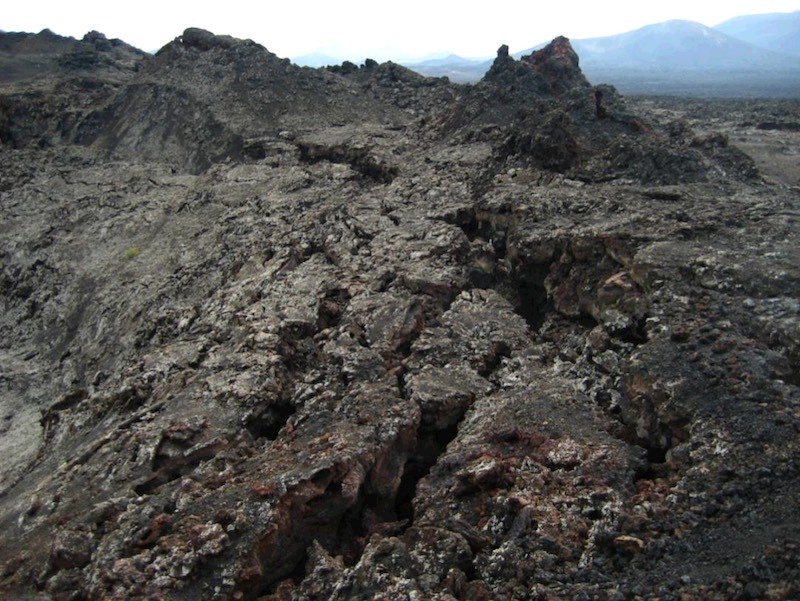
LZ27 Lavas de Timanfaya
The 1730-1736 Timanfaya eruptions resulted in one of the largest and most long-lasting superficially historical lava fields. During the eruptions, [...]
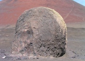
LZ28 Conos de Timanfaya
This geosite includes cones that appeared during the early and late stages of the Timanfaya eruption. The pyroclastic cone of [...]
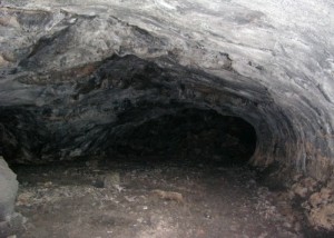
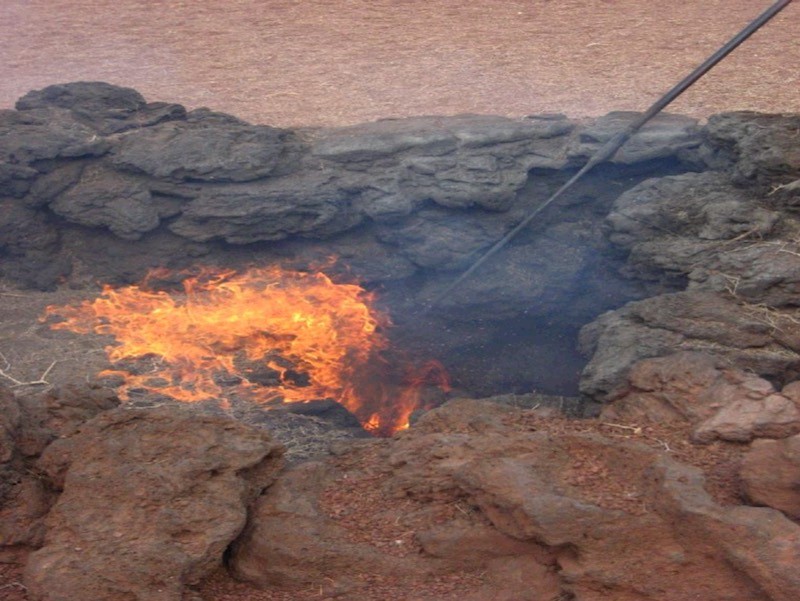
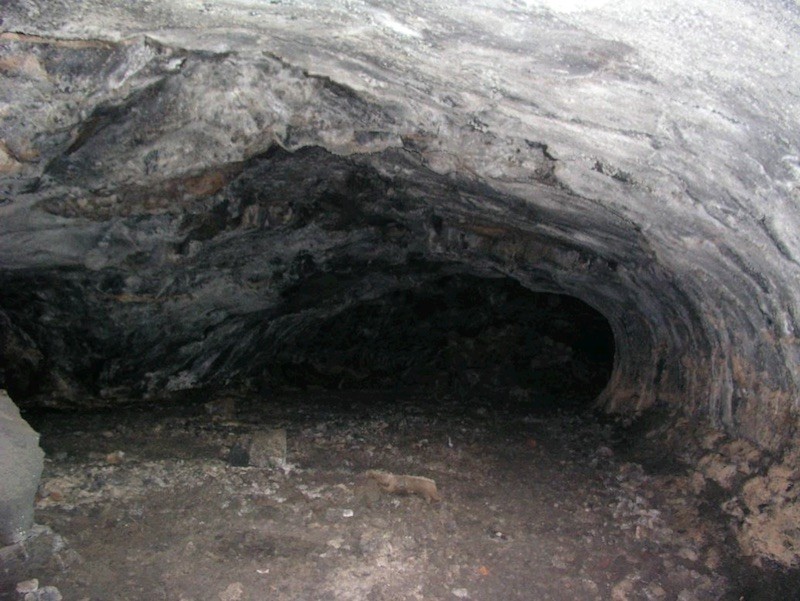
LZ29 Cueva de los Naturalistas
Also known as Cueva de Las Palomas de Masdache, this is a volcanic tube that was formed in the pahoehoe [...]
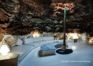
LZ30 Fundación Cesar Manrique
Casa-Museo whose ground floor is built in the pahoehoe distal lavas of the Timanfaya eruption. It has very fluid lava [...]
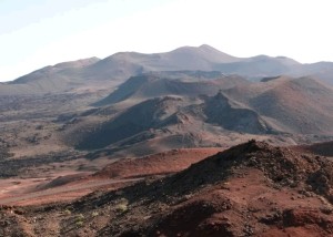
LZ31 Montaña Rajada
Mountain Rajada is one of the largest isolated volcanic structures of the historic eruption of Timanfaya. It consists of a [...]
LZ32 Calderas Quemadas
The alignment of the Calderas Quemadas monogenetic volcanoes define the main direction of the eruptive fissure that led to the [...]
LZ33 Hornitos del Echadero de Los Camellos
The hornitos and cinder cones of Echadero de Los Camellos make up the set of smaller more compact constructions, which [...]