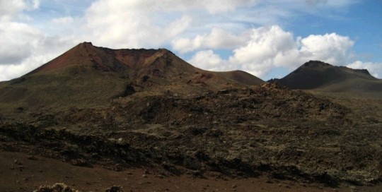
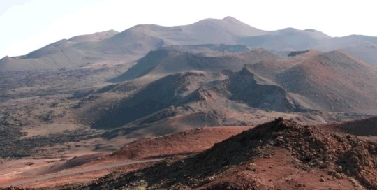
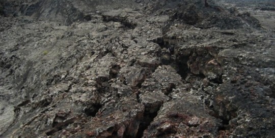
¡The Tinguatón volcano corresponds to the 3rd and last eruption stage of 1824, around 9 km from the first building formed, Tao volcano, and around 4 km from the 2nd eruption episode, Nuevo del Fuego or Chinero volcano. The three volcanic buildings are located over the same fracture in ENE-WSW direction. The eruption of the [...]
LZ25 Islote de Hilario
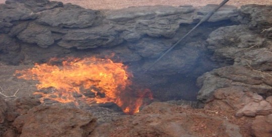
carlosdpp2021-03-09T13:15:24+00:00Islote de Hilario is one of the most original islets or kipukas in the Canary Islands, and it stands out from other islets because it is covered by the pyroclasts of the Timanfaya eruption of 1730-1736. However, the main characteristic of this geosite is the presence of thermal anomalies. This area registers the highest thermal [...]
LZ26 Pico Partido-Montaña Señalo
carlosdpp2021-03-09T13:11:22+00:00The volcanic area of Pico Partido-Montaña del Señalo is one of the most active points of the fissure vent that puts together the different emission centres of the 1730-1736 eruption. This is one of the areas with the largest number of eruption centres per km2 of the whole eruption. This is a compact eruption system [...]
LZ27 Lavas de Timanfaya
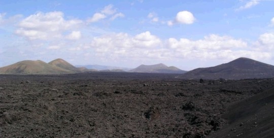
carlosdpp2021-03-09T13:09:57+00:00The 1730-1736 Timanfaya eruptions resulted in one of the largest and most long-lasting superficially historical lava fields. During the eruptions, the lava flows covered an area of around 176 km2, forming piled up lava that in some points reach a power of up to 100 m according to data obtained from deep surveys carried out [...]
LZ28 Conos de Timanfaya
carlosdpp2021-03-09T13:08:55+00:00This geosite includes cones that appeared during the early and late stages of the Timanfaya eruption. The pyroclastic cone of Caldera de Los Cuervos is the structure generated on the 1st of September 1730 that led to the beginning of the eruption of Timanfaya, which lasted for more than six years. It is a structure [...]
LZ29 Cueva de los Naturalistas
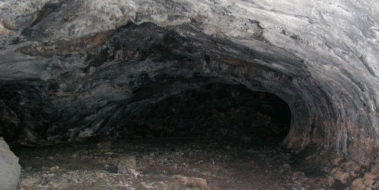
carlosdpp2021-03-09T13:07:57+00:00Also known as Cueva de Las Palomas de Masdache, this is a volcanic tube that was formed in the pahoehoe lava flows of the last phases of the Timanfaya eruption from 1730 to 1736. Its formation is associated with changes in the volume of lava emitted during the active period. The tube has been mapped [...]
LZ30 Fundación Cesar Manrique
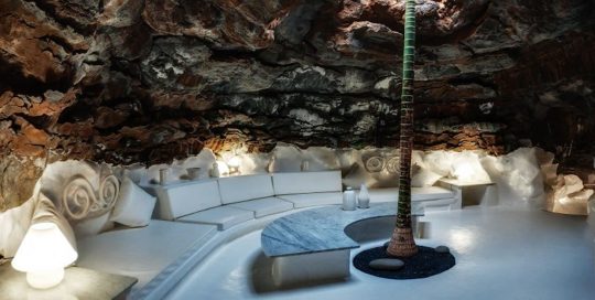
carlosdpp2021-03-09T12:52:15+00:00Casa-Museo whose ground floor is built in the pahoehoe distal lavas of the Timanfaya eruption. It has very fluid lava flow characteristics and a profusion of small volcanic tubes and spectacular roped morphologies on the surface. Although it is a long lava flow, its cross section is small. Its black colour stands out on the [...]
LZ31 Montaña Rajada
carlosdpp2021-03-09T12:50:28+00:00Mountain Rajada is one of the largest isolated volcanic structures of the historic eruption of Timanfaya. It consists of a complex morphological cone which is a result of its construction around several craters that are aligned in the direction of the main Timanfaya fracture and displays distinctive eruptive styles. The main crater houses a lava [...]
LZ32 Calderas Quemadas
carlosdpp2021-03-09T12:49:25+00:00The alignment of the Calderas Quemadas monogenetic volcanoes define the main direction of the eruptive fissure that led to the historic eruption of Timanfaya. This alignment is a small volcanic chain formed from the interweaving, overlapping and juxtaposition of four volcanic ring structures that generate the most compact alignment of the Timanfaya area. Each of [...]
LZ33 Hornitos del Echadero de Los Camellos
carlosdpp2021-03-09T12:48:16+00:00The hornitos and cinder cones of Echadero de Los Camellos make up the set of smaller more compact constructions, which are the most unique and of the highest morphological complexity and structure of the Timanfaya eruption. It is on the peripheral core of the eruption of Timanfaya, Macizo del Fuego, connected to the flow of [...]
